Richinbar Mine
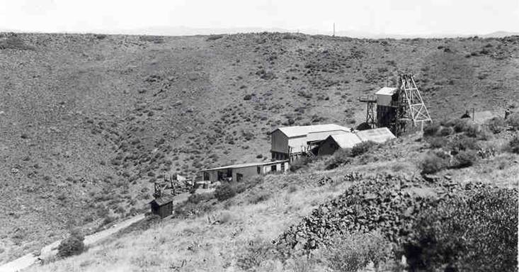
Richinbar Mine - Photo from 1940 - Courtesy of Arizona Geologic Survey files
Sunday, February 27, 2011
Bradshaw Mountain Road
Here is a new song that I just wrote about the Bradshaw Mountain Road, in Yavapai County Arizona. The song tells the story of the hard rock miners who lived and worked in Middleton and Crown King during the boom-bust period of 1880-1930. Frank Murphy developed the railroad to transport ore from the mines in the area. The train was abandoned in 1926, after only 22 years of service. The existing Crown King road uses the old railroad right-of-way starting at the first switchback.
My connection with the area began in the 1980's when my family and I purchased a cabin in Crown King. Since that time I have tried to learn as much as possible about the mining era. I have been fortunate to know several people with direct knowledge of the early mining days. In addition, I enjoy hiking and 4-wheeling in the area. There is increasing amount of material being posted on the internet in recent years. Two of the most valuable sites are:
http://www.apcrp.org/index.htm - Arizona Pioneer and Cemetery Research Project
http://www.tigergold.com/ - Tiger Gold Company
I have developed an interest in song-writing over the past year. I enjoy combining my long-time interest in music, words, and the Arizona outdoors. Please let me know your thoughts about my music. I invite you to refer other interested people to my blog and You Tube songs.
Sunday, February 20, 2011
Richinbar Mine - Black Mesa
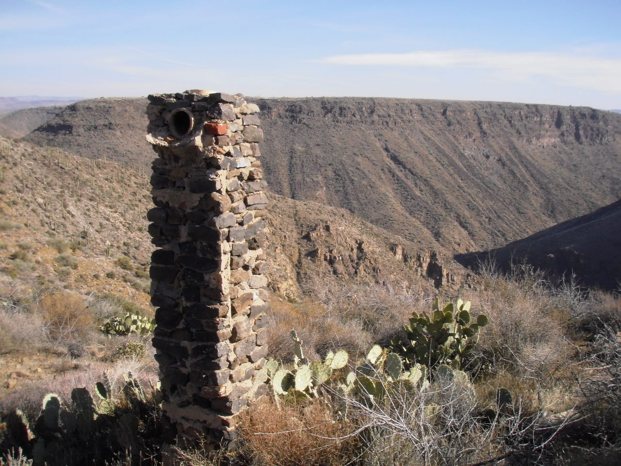
The best way to enjoy a hike on Black Mesa is to park your vehicle at the Badger Springs Exit of I-17. Start hiking due south along a dirt road right of way. The dirt road climbs a short, steep slope to reach the relatively level Black Mesa. Follow the dirt road and turn left at the corral and windmill, and continue about two miles. The Richinbar Mine is located at the top of a 1,000 foot cliff that forms the eastern edge of Black Mesa. The Agua Fria River is located at the bottom of the canyon, and Perry Mesa is the prominent mesa across the canyon.
The Richinbar Mine closed in 1937 after operating for forty-one years. It was one of the largest gold and silver mines in Yavapai County. Use great care to avoid all open mining shafts and tunnels when walking around the mine.
The photo of the Agua Fria River located at the bottom of the page was taken during the rainy season. Runoff from mountain snow can cause the river to flow at a very powerful rate. The rate of flow varies during the year from a peak in January-March to a trickle in the summer months.
Subscribe to:
Posts (Atom)