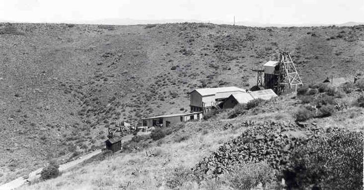
My research about John Townsend continues. My prior blog posts include a short account of Townsend's life in Arizona, a description of his last day, and a historic survey map showing the location of the Townsend Ranch. 19th century newspaper articles and personal letters are very unclear about geographic locations. It was common to refer to well-known ranches (i.e. Woolsey, Boggs, Townsend) as though everyone knew their location.
Based on the available evidence (the historic photo in the Sharlot Hall Archives, historic descriptions of the area, and the historic survey map in my prior blog post), I set out to explore the Townsend ranch site and take a modern photo of the ranch. The basalt cliff in the historic photo was an important visual clue to aid in my search.
Thanks to Cliff Hersted, the Archaeologist at Arcosanti, I was able to take the photo shown below which matches the location of the historic photo. The experience of visiting the Townsend Ranch site brings to life the many stories of Townsend's life:
- the rich farm land along the banks of the Agua Fria River was a natural location for Townsend to fulfill his contract to provide grain and hay to the troops Fort Verde
- Townsend accepted the inherent risks of settling away from the safety of Fort Whipple
- The Townsend Ranch encroached on the established Indian trails, water holes, and hunting lands
- Dripping Springs, the site of Townsend's death, is located four miles to the southwest.

No comments:
Post a Comment