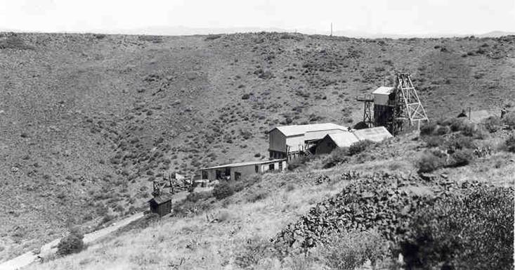
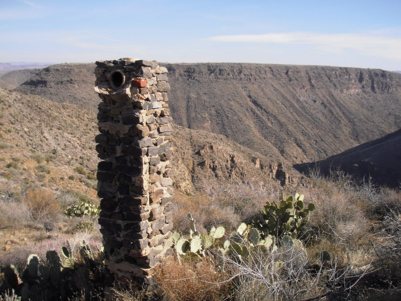
The best way to enjoy a hike on Black Mesa is to park your vehicle at the Badger Springs Exit of I-17. Start hiking due south along a dirt road right of way. The dirt road climbs a short, steep slope to reach the relatively level Black Mesa. Follow the dirt road and turn left at the corral and windmill, and continue about two miles. The Richinbar Mine is located at the top of a 1,000 foot cliff that forms the eastern edge of Black Mesa. The Agua Fria River is located at the bottom of the canyon, and Perry Mesa is the prominent mesa across the canyon.
The Richinbar Mine closed in 1937 after operating for forty-one years. It was one of the largest gold and silver mines in Yavapai County. Use great care to avoid all open mining shafts and tunnels when walking around the mine.
The photo of the Agua Fria River located at the bottom of the page was taken during the rainy season. Runoff from mountain snow can cause the river to flow at a very powerful rate. The rate of flow varies during the year from a peak in January-March to a trickle in the summer months.
No comments:
Post a Comment