John Townsend
John B. Townsend died on September 16, 1873. According to historical accounts, he was lured away from his family farm by a group of Apache braves, who ambushed him as he cleared the ridge above Dripping Springs. Townsend became a legendary Indian fighter after he relocated his family from Texas to Yavapai County, Arizona in 1868 (estimated). He was a Confederate soldier in the Civil War.
The only known photograph of John B. Townsend is stored at the Sharlot Hall Archives:
http://sharlot.org/img/detail_htmls/4370po0648pc.html
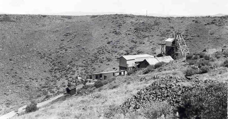
There are a number of well-established farms located along the Agua Fria River. The modern-day Young's Farm located in Dewey is a good example. The ranch owned by Nathan and Herbert Bowers was located at or adjacent to Young's Farm at the intersection of Hwy 69 and HWY 169. A description of the 1871 cattle theft from the Bowers Ranch is included in my previous blog post. The historical records indicate that the Townsend farm was located forty miles from Fort Whipple along the Agua Fria River. A modern-day farm is located in this approximate location. Further research is needed to ascertain the exact location.
A high percentage of published information about John B. Townsend is likely to be inaccurate. For example, there are various reports of the number of Indians killed by Townsend. The highest reported number is 65.
My song attempts to capture the experiences and emotions of pioneers living in Yavapai County during the 1870's. The physical challenges and hardships of the pioneers become clear when a modern Arizonan considers:
• Walking one thousand miles along the Leach Wagon Road from Texas to central Arizona
• Living forty miles from the small settlement of Prescott and the security of Fort Whipple
• Relying on a widely scattered network of neighbors from Walnut Grove to Camp Verde for security and social interaction
My goal as a historian and song-writer is to present the events of the past in an engaging way by telling stories about important people and events in Arizona's early days. The successes and failures of Arizona's pioneers may capture your imagination, and inspire you to learn more about our not-so-distant past.
The images that accompany this song begin with a map of the Leach Wagon Road from the David Rumsey Map Collection. The two photos that follow are recent photos taken along the San Pedro River showing the well-worn track of the Leach Wagon Road. The remaining images (Google Earth, Topo Map, Photographs) show the relative locations of Prescott/Fort Whipple, Bowers Ranch, John Townsend's Ranch (possible location), Dripping Springs, and Townsend Butte. The final photos are looking south from the ridge above Dripping Springs. Townsend Butte is the flat-topped hill visible in the distance. The final photo is of the Townsend Family headstone in the Masonic Cemetery, Prescott, Arizona. Townsend was buried at Dripping Springs in 1873 and re-interred at the Masonic Cemetery.
The song is copyrighted by Robert T. Gibney 2011.
No comments:
Post a Comment